Permanent technical record · TB-WBB-AUS-2009-BLACK-SATURDAY
A versioned reconstruction of a multi-fire disaster that separates individual ignitions, fire-weather observations, operational systems and unresolved evidence.
Record summary. Black Saturday was not one ignition or one fire perimeter. It was a statewide disaster in which approximately 400 fires were recorded across Victoria under exceptional heat, drought and wind. This record preserves that scope, then uses Kilmore East–Kinglake and Murrindindi as the principal sub-incident lenses. It makes no finding of civil, criminal or regulatory responsibility.
Executive evidence summary
Authoritative disaster records report 173 fatalities and 414 injured people across the February 2009 Victorian fires.
96 · Very high · Reported2,029 homes were destroyed; CFA also reports more than 3,500 buildings destroyed across the disaster.
94 · Very high · ReportedMelbourne reached 46.4 °C, Hopetoun 48.8 °C, and the wind change exposed long fire flanks to a new direction of spread.
95 · Very high · Observed / ReportedBlack Saturday has no single ignition cause. Fire-specific findings must remain attached to individual incidents.
88 · Very high · Reported / Interpreted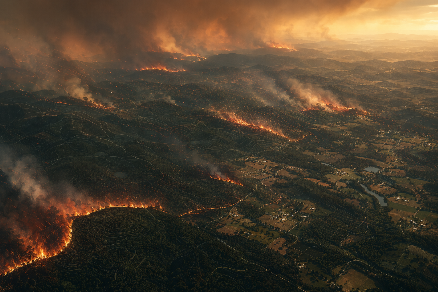
Scope and unit of analysis
The public label Black Saturday refers to the fires that burned across Victoria on and around 7 February 2009. AIDR records approximately 400 fires affecting 78 communities. Treating those fires as one ignition would collapse unlike events, causes and timelines into a false narrative.
| Layer | What this record covers | Control |
|---|---|---|
| Disaster layer | Statewide Black Saturday impacts, weather and policy response | Values explicitly labelled as statewide or event-wide |
| Sub-incident layer | Kilmore East–Kinglake and Murrindindi, with other fires named where relevant | Timeline and cause statements remain incident-specific |
| Evidence layer | Royal Commission, Bureau of Meteorology, CFA, AIDR and CSIRO material | Every material claim receives a source and provisional TB-ECI state |
| Legal boundary | Technical and historical reconstruction | No independent determination of liability, negligence or criminal responsibility |
Documented scale and impacts
| Dimension | Documented value | Definition note |
|---|---|---|
| Fatalities | 173 | Statewide Black Saturday disaster total |
| Injured | 414 | AIDR and CFA quick-statistic total |
| Homes destroyed | 2,029 | AIDR count; use as houses/homes, not all structures |
| Buildings destroyed | More than 3,500 | CFA total includes more than 2,000 houses |
| Area burned | More than 450,000 ha | Event-wide CFA total, not a single-fire perimeter |
| Communities affected | 78 | AIDR event-wide reporting |
| Insurance cost | AUD 1.07 billion | AIDR historical insurance-cost figure; not total social or economic loss |
| Inquiry response | 67 recommendations | 2009 Victorian Bushfires Royal Commission final report |
Core chronology
Fire weather and propagation
The Bureau of Meteorology documents three interacting conditions: exceptional long-term dryness, record heat and persistent strong winds before and after a fast-moving cool change. Predicted Forest Fire Danger Index and Grass Fire Danger Index values were often above the original 0–100 scale. Record high temperatures occurred across more than 87 percent of Victoria on 7 February, according to the Bureau’s historical review.
The direction change mattered as much as the wind speed. Northwesterly winds first drove long, relatively narrow fire bands. The southwesterly change then struck their eastern flanks, converting length into a broad moving front. Pyrocumulonimbus development and lightning added further complexity.
Evidence boundary
Extreme heat, low humidity, drought and wind explain the fire-behaviour environment. They do not identify the ignition source of every fire, and they do not create one common cause for the statewide disaster.
Ignitions and cause attribution
The Royal Commission investigated individual fires rather than assigning a single cause to “Black Saturday.” The Kilmore East fire is strongly documented as originating when power-line equipment failed near Kilmore East. Other fires had different ignition findings or unresolved histories. The correct data model is therefore one disaster record linked to multiple incident and ignition records.
- Kilmore East: power-line failure is retained as a fire-specific official finding.
- Murrindindi: this page does not compress later litigation, inquiry evidence and public reporting into an unsupported one-line cause label.
- Other Victorian fires: electrical assets, suspected or deliberate ignition, lightning and other mechanisms appear across the broader event record.
- Statewide label: “multiple causes” is more accurate than one event-wide ignition field.
Warnings, evacuation and survival decisions
Before Black Saturday, Victoria’s public policy was commonly described as Prepare, Stay and Defend or Leave Early. The Royal Commission examined whether community education, warning systems and assumptions about household preparedness matched the conditions people faced. Its final recommendations shifted emphasis toward clearer warnings, earlier decisions, community refuges and shared responsibility.
CSIRO’s life-loss research and sheltering studies show why simple labels are inadequate. More than half of those who died were sheltering inside a house at the time of death. That does not mean every house, every plan or every decision had the same conditions; it demonstrates that “being inside” cannot be treated as a sufficient survival strategy without building condition, preparation, fire intensity, timing and escape options.
Built environment and infrastructure
Black Saturday exposed the interaction between settlement pattern, vegetation, building vulnerability, electricity assets, roads, communications and last-resort shelter. The Royal Commission’s planning and building work considered how land-use and construction systems could reduce future exposure; its electricity chapter examined the prevention and mitigation of asset-caused fires.
House loss cannot be read only as flame contact. Windborne embers, local fuel, openings, attachments and neighbouring structures can create multiple failure paths.
Where an electrical asset is an ignition source, asset condition, network design and extreme-weather operation become prevention variables as well as response variables.
Leave-early advice depends on time, routes and a realistic destination. Last-resort refuge is a separate safety layer, not a substitute for early evacuation.
A warning is useful only if its timing, geographic relevance and action message reach people before the available decision window closes.
Systems reconstruction
The evidence does not support a single-factor explanation for the consequences. A systems reconstruction asks separate questions and preserves their relationships:
- What was the ignition mechanism for each major fire?
- What weather and fuel conditions controlled rate and direction of spread?
- When did communities receive actionable information?
- What evacuation, shelter and road options remained at each time?
- How did buildings, vegetation and infrastructure perform?
- Which findings are official, which are derived, and which remain disputed or incomplete?
Provisional TB-ECI claim register
TB-ECI measures evidence strength and auditability—not severity, blame or probability of truth. Scores are provisional and may change when the source register changes.
| ID | Material claim | State | TB-ECI | Band |
|---|---|---|---|---|
| C001 | The event’s peak day was 7 February 2009 in Victoria. | Reported | 95 | Very high |
| C002 | 173 people died. | Reported | 97 | Very high |
| C003 | 414 people were injured. | Reported | 91 | Very high |
| C004 | 2,029 homes were destroyed. | Reported | 95 | Very high |
| C005 | More than 450,000 ha burned across the event. | Reported | 90 | Very high |
| C006 | Melbourne reached 46.4 °C and Hopetoun 48.8 °C on 7 February. | Observed / Reported | 96 | Very high |
| C007 | The wind change broadened active fire fronts by striking the flanks of earlier wind-driven fire bands. | Observed / Interpreted | 94 | Very high |
| C008 | Fallen power lines started the Kilmore East fire at about 11:47. | Reported | 93 | Very high |
| C009 | Black Saturday cannot be assigned one ignition cause. | Derived / Interpreted | 88 | Very high |
| C010 | Approximately 400 fires were recorded, affecting 78 communities. | Reported | 82 | High |
| C011 | The Royal Commission issued 67 recommendations. | Reported | 92 | Very high |
| C012 | More than half of the fatalities occurred while people were sheltering inside a house. | Reported | 84 | High |
Conflicts, uncertainty and non-findings
- One event, many fires: statewide impact totals must not be attached to the Kilmore East or Murrindindi perimeter alone.
- Approximately 400: this is a broad disaster-level count, not a claim that 400 independent major incidents were fully investigated.
- Buildings versus homes: 3,500 buildings and 2,029 homes are different categories, not competing totals.
- Cause: no event-wide single cause is published because individual fires had different findings.
- Economic loss: AUD 1.07 billion is an insurance-cost figure; it is not total direct, indirect or long-term social loss.
- Illustration: the hero image is editorial and is not used as evidence of perimeter, rate of spread or local impact.
Policy and engineering legacy
The 2009 Victorian Bushfires Royal Commission produced 67 recommendations spanning warnings, emergency management, community responsibility, refuges, electricity-caused fire, land and fuel management, planning, building and recovery. Tecnobosque treats those recommendations as a map of system interfaces—not as proof that every later risk was eliminated.
The event also contributed to redesign of fire-danger communication. The Bureau notes that indices exceeded their original scale and that a new category for values above 100 was created after Black Saturday. The enduring engineering lesson is that a scale, message or building assumption can fail when operating conditions move outside the range for which it was designed.
Primary and authoritative sources
- 2009 Victorian Bushfires Royal Commission — Final Report
- Royal Commission — Volume I: The Fires and the Fire-Related Deaths
- Royal Commission — Shared Responsibility
- Royal Commission — Electricity-Caused Fire
- Royal Commission — Planning and Building
- Australian Bureau of Meteorology — The extraordinary weather behind Black Saturday
- Australian Disaster Resilience Knowledge Hub — Black Saturday
- Country Fire Authority — Black Saturday 2009
- CSIRO — Understanding loss of life in bushfires
- CSIRO Research Publications Repository — Experiences of sheltering during Black Saturday
- National Museum of Australia — Black Saturday bushfires
Record governance
Version 1.0 · 4 September 2026. Initial Australian reference record. Added disaster and sub-incident scope controls, impact totals, weather reconstruction, ignition boundary, evacuation and building-system analysis, 12 provisional TB-ECI claims and 11 authoritative sources.
Next review trigger: a material revision to official fire-specific cause, fatality, house-loss or perimeter data; recovery of a more precise source for warning delivery; or a methodological change to multi-fire event handling.